Black Sea – maps and information
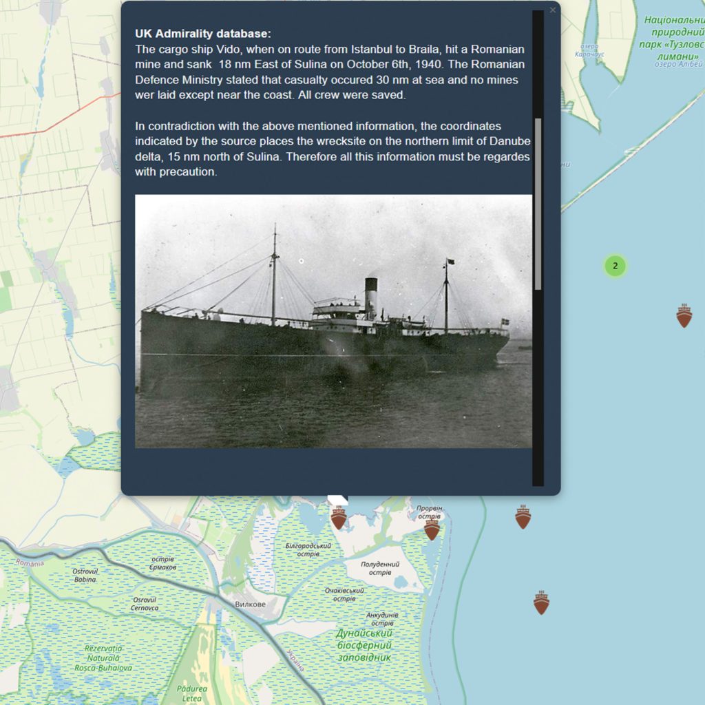
Interactive map with naval events and wrecks from the western Black Sea, with a focus on the Romanian maritime space and neighboring areas
This interactive map and the support database were first developed in the project “Implementation of a geophysical investigation and monitoring tool of the Romanian maritime space security – MAR-S”, founded during 2017-2018, by UEFISCDI, through the National Plan for Research, Development and Innovation 2015 – 2020, PNIII; P2 – Increasing the Romanian economy competitiveness through RDI; Subprogram 2.1 – Competitiveness through Research, Development and Innovation – Experimental-Demonstration Project (PED); 2016 Projects Competition (PN-III-P2-2.1-PED-2016).
The project aimed at the experimental-demonstrative implementation of a set of geophysical methods of investigation and monitoring of the submarine domain, together with the organization of the existing and acquired information in a GIS database, able to allow to assess the current degree of security of the Romanian maritime space and set up the future surveillance strategy.
The MAR-S GIS database and map developed within the MAR-S project have been further improved until the latest version displayed here.
WARNING:
The wreck locations shown on this map are approximate.
Coordinates have been intentionally altered to protect and preserve the sites. Actual positions may differ significantly from those displayed.
DOORS System of Systems (SoS)
DOORS (Developing Optimal and Open Research Support for the Black Sea) was a €9m EU research project which responded to the urgent need to better understand and protect the Black Sea — a region rich in biodiversity, history, and economic potential, yet heavily impacted by human activities, climate change, and geopolitical tensions.
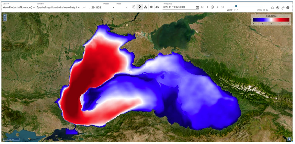
The DOORS System of Systems (SoS) platform rings together heterogeneous data from in-situ measurements and sensor arrays, satellite based Earth observation, external repositories, and model outputs into single interactive visualisation platform for the Black Sea with harmonised data models. The SoS is designed to build a collective understanding to value the Black Sea, provide real information to tackle the main societal challenges of the Black Sea to:
- promote a culture of openness and share best practice (Knowledge Transfer and Training);
- support sustainable innovation in the Blue Economy for the region (Blue Growth Accelerator).
The software is fully open source and based on a well maintained technology stack permitting rapid access to time series data, swiftly created for regions and variables of interest, a feature which may be used to create reports. The SoS provides access to real & near real time data, allowing us to monitor current and unforeseen events such as the explosion at the Kakhovka Dam in Ukraine on 6th June ‘23.


