Proiecte
FP7

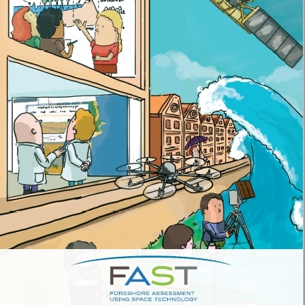
The FAST project has developed a web-based integrated services platform called MI-SEIF, which is freely accessible. This platform provides users with access to data and modelling services related to coastal flooding. To build this service, FAST researchers studied 8 pilot coastal areas in Europe, salt marshes and lagoons. They measured vegetation characteristics in these areas, wave attenuation, water depth, sediment particle size and estimated the erosion. They integrated this data with the satellite images from the European Space Agency’s Copernicus service and NASA’s Lansat, as well as with the global datasets on coastal morphology, tides, vegetation types, etc. The Mi-SAFE services were developed following consultations with the potential users from the public and private sectors.

