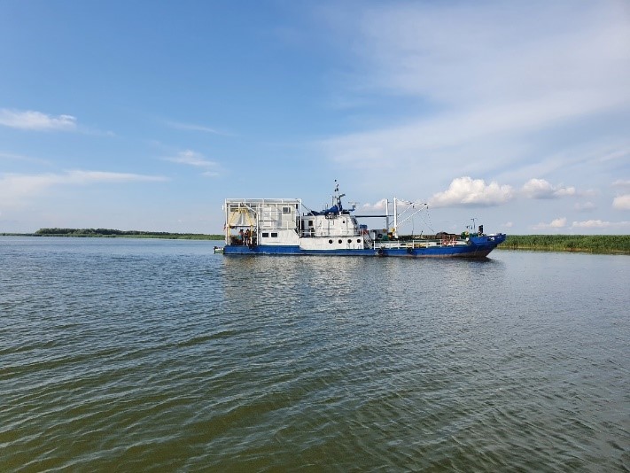
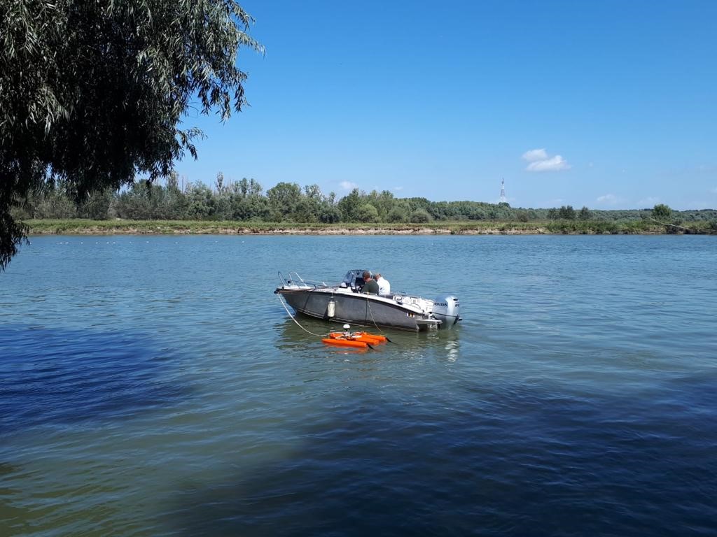
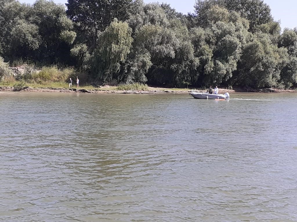
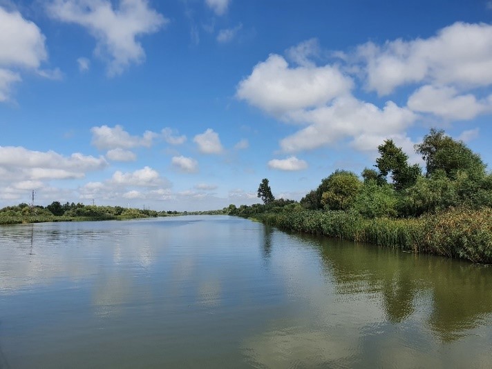
The project aimed at the very detailed geophysical investigation of the submerged areas belonging to several archaeological sites located on the Danube (Aegyssus, Capidava, Turris, Sucidava, Axiopolis, Castravita, Desa, etc.), and of one area located in the Danube Delta (Halmyris, Salsovia, Troemsis, etc.), covering practically all the epochs of the ancient period from a historical point of view. As typology and chronology, the sites included various archaeological monuments illustrating the stages of the historical and topographical evolution of the fortresses, most of them being ports on the Danube. Geophysical studies conducted in the submersed area were useful for the future archaeological excavations to be executed on land, providing a more defined picture of the continuity of ancient vestiges (walls, port structures) in submerged areas. In the case of the Danube Delta sites, but also for those located on the Danube, the geophysical works (magnetometric and electrometric) aimed to identify sources of anthropogenic pollution of the soil and the basement – contemporary structures built in the area of the sites, eventual pipelines that can cross these settlements, and last but not least, possible pollution feathers existing in the area of sites in the immediate vicinity of some industrial polluters, which could degrade the buried ancient structures. In order to eliminate as many of the anomalies generated by anthropogenic polluting factors (buried constructions of recent age, pipelines, oil polluted areas, etc.), it was necessary to carry out research with the use of GMsysv software, 3D and 2D models corresponding to the anomalies generated by the pollutants existing in the archaeological sites. The proposed methods for geophysical research in the submersed area were magnetometric, seismoacoustic (side sonar scan) and electrometric, respectively. Geophysical studies were conducted in the fluvietil area and lake adjacent to each archaeological site.The first works were topographic, with the help of which the skeleton of the field data acquisition networks was transposed into the field, with archaeologists also participating in this operation. The data acquisition works started from the topographic support network of each site, and the geophical mapping started with bathymetric measurements, followed by magnetometer measurements and ending with electrometric works. Previously, magnetic susceptibility studies were conducted on rock, brick, mortar, etc., samples necessary to calibrate the magnetometric method. Subsequent to the conduct of these studies, diving in the areas of interest were carried out to mark the in-situ, film and photograph any vestiges discovered. GeoEcoMar has diving equipment, underwater photography and filming.