Proiecte
International Projects

The Danube River Basin (DRB) faces significant challenges associated with river sediments. In the 2021 update of the Danube River Basin Management Plan, sediment balance alteration emerged as a new sub-topic within the existing Significant Water Management Issue titled “Hydromorphological alterations.” Additionally, sectors like industry, urban sewage, and agriculture call for sediment quality evaluations throughout the DRB. However, the absence of standard sediment monitoring limits our understanding of risks.

Coast-Scapes (rethinking COASTal landSCAPES with climate-resilient interventions: systemic land-to-sea solutions) proposes to rethink land-coast-sea systems under climate change for enhanced resilience and biodiversity gains. It seeks to develop and transfer climate resilient solutions, often discussed but seldom implemented in a systemic manner, for the land-coast-sea continuum, demonstrating co-benefits across: a) socioeconomic sectors b) geographical domains c) temporal scales.
By combining Core Pilots, to demonstrate and implement systemic solutions, Replicating Pilots, to export resilience plans and Transfer Pilots, to prove the scalability of the approach, COAST-SCAPES supposes a quantum leap for climate resilience.
GeoEcoMar co-leads the Danube Delta Replication Pilot, bringing scientific expertise and local knowledge to adapt and test systemic resilience solutions in this transboundary ecosystem. In parallel, GEM leads dissemination and training under WP5, delivering workshops, e-learning, and certification to empower administrations, practitioners, and civil society.

Europe’s environment is in an alarming state, with climate change effects aggravating. To secure economic prosperity, human wellbeing and social peace, systemic transformative change of our society is imperative. Ecosystem restoration using nature-based solutions (NbS) is key to this change, in which freshwaters hold a pivotal role.

The fifth phase of the EMODnet Seabed Habitats project will continue the work on developing Europe’s only habitat map library; create new composite data products showing the extent and distribution of vulnerable marine ecosystems and potentially degraded habitats in and around Europe; update the EMODnet large-scale benthic habitat maps for Europe (EUSeaMap); collaborate with Regional Sea Conventions (RSCs) and ICES Working Groups to provide habitat mapping products for their reporting and monitoring requirements; and maintain and improve common methods of accessing data held in repositories.

During Phase 3, EMODnet Seabed habitats began collecting and providing habitat point data and meta-data. The consortium initially focused its efforts on designing a data scheme that would record all the necessary information and would be compatible with existing infrastructure for point data of species (Ocean Biogeographic Information System (OBIS) and EMODnet Biology). This is vital given that a point-by-point observation of a habitat is likely to be coupled with observations of species from the same record. This project aims to include observations on the presence of habitat (where it exists) whenever data holders upload new observations of the presence of species to EurOBIS. This requires broad and sustained communication about the standards we have already developed and providing incentives for data owners to include this additional information in their documents.

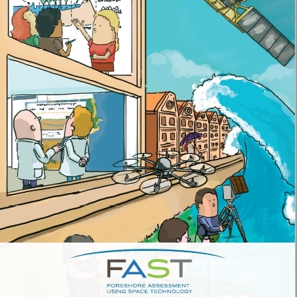
The FAST project has developed a web-based integrated services platform called MI-SEIF, which is freely accessible. This platform provides users with access to data and modelling services related to coastal flooding. To build this service, FAST researchers studied 8 pilot coastal areas in Europe, salt marshes and lagoons. They measured vegetation characteristics in these areas, wave attenuation, water depth, sediment particle size and estimated the erosion. They integrated this data with the satellite images from the European Space Agency’s Copernicus service and NASA’s Lansat, as well as with the global datasets on coastal morphology, tides, vegetation types, etc. The Mi-SAFE services were developed following consultations with the potential users from the public and private sectors.

